BackCountry Navigator GPS PRO

3.4

100K+
Downloads

14.99
Price
Advertisement
AppName
BackCountry Navigator GPS PRO

Category
Maps & Navigation

Download
100K+

Safety
100% Safe

Developer
CritterMap Software LLC

Price
14.99

Advertisement
Screenshots
Description
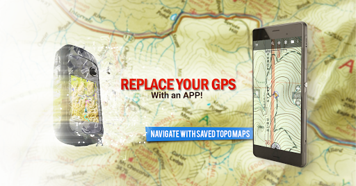
Embark on unforgettable outdoor adventures with BackCountry Navigator! 🌲 This app transforms your Android device into a powerhouse of off-road navigation, ensuring you're never lost, even beyond the reach of cell towers. Download detailed topographic maps in advance and explore with confidence, whether you're hiking through national forests, hunting in rugged terrains, or kayaking down scenic rivers. 🛶
Imagine having a rugged handheld GPS device right on your phone or tablet! BackCountry Navigator offers a plethora of features, including GPS waypoint navigation, track recording, and access to various map sources like OpenStreetMaps and USGS Topo Maps. You can even overlay boundary maps from the Bureau of Land Management, making it ideal for hunting trips. 🦌
New to the app? Try the DEMO version to explore the maps available in your country. For those seeking even more detailed mapping, optional in-app purchases like Accuterra Topo Maps and Thunderforest Maps are available. No matter your adventure, BackCountry Navigator equips you with the tools you need to explore safely and confidently. 🏞️ So, ditch the paper maps and unreliable cell service, and make your next outdoor experience truly exceptional!
Special Features
 Offline Topo Maps
Download detailed topographic maps for the US and many other countries, ensuring you always know the terrain, even without cell coverage. Navigate confidently through hiking trails, hunting grounds, and kayak routes. 🗺️ No more worrying about spotty service—just pure, uninterrupted exploration!
GPS Waypoint NavigationImport GPS waypoints from GPX or KML files, or manually enter coordinates in various formats (longitude/latitude, UTM, MGRS). Use the GOTO feature to navigate directly to your chosen waypoint, making it perfect for marking campsites, fishing spots, or geocaching locations. 📍 It’s like having a personal guide in your pocket!
Track RecordingRecord your treks and GPS waypoints in real-time, tracking your journey on topographic maps. Keep a detailed log of your adventures, noting every turn and landmark along the way. 🚶♀️ Perfect for analyzing your routes, sharing with friends, or retracing your steps on future expeditions.
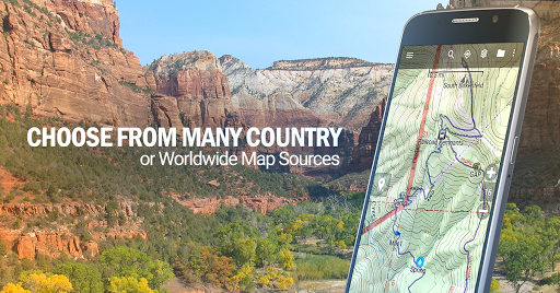
Versatile Map SourcesAccess a wide range of free map sources, including OpenStreetMaps, OpenCycleMaps, and US Topo Maps from Caltopo and the USGS. For even more detailed maps, consider optional in-app purchases like Accuterra Topo Maps or Thunderforest Maps. 🌍 Tailor your map selection to your specific needs and location.
Usage scenarios
BackCountry Navigator is perfect for outdoor enthusiasts! 🏞️ Whether you're a seasoned hiker, a weekend camper, or an avid geocacher, this app transforms your phone into a powerful handheld GPS. It's designed for anyone who loves exploring off the beaten path and needs reliable navigation beyond cell service. 🧭
Is Instagram safe to use?
Continued use of GPS running in the background can significantly decrease battery life. To conserve power, close the app completely when not actively navigating. Additionally, consider bringing a portable charger or external battery pack on longer trips to ensure your device stays powered throughout your adventure. 🔋 Be mindful of your battery level and plan accordingly to avoid getting stranded without navigation.
Advertisement
Free Download Now

Similar Apps


Guess You Want To Choose
Advertisement


